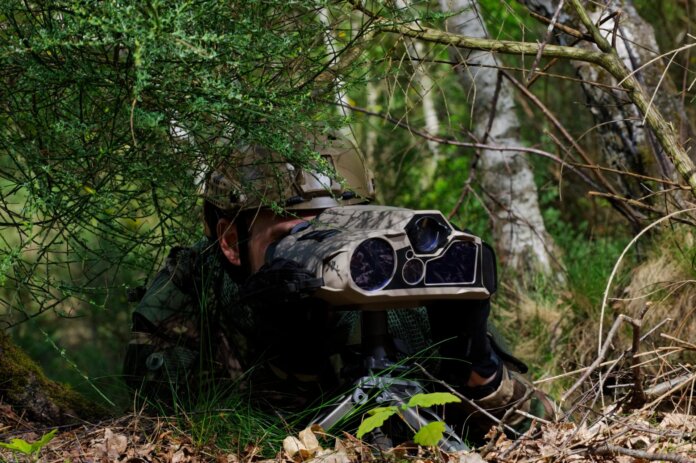
On Monday 13 June, on the first day of Eurosatory, Thales launched Visioloc, its new geolocalisation system.
Visioloc is a new functionality of Thales’ Sophie Optima and Sophie Ultima hand held thermal imagers that allows them to generate high precision geolocation coordinates. It introduces a Resilient Positioning Navigation (RPN) system in the imagers through the combination of an embedded goniometer and a Geographic Information System (GIS).
“By avoiding reliance on a GPS for geolocalisation, Visioloc also works in the GNSS-denied environments that have become a key characteristic of high intensity combats,” said Pascal Sécretin, product line director Imagers and Sensors at Thales during the show.
Just as importantly, it provides Cat1 at CE90 accuracy levels of positioning up to three kilometres using three reference points within a sector.
Finally, because Visioloc combines multiple instruments – goniometer (approximately 5kg) and camera (approx. 3kg) – into one algorithm that can fit into a handheld camera, it significantly reduces the load for armed forces: both Sophie Ultima and Sophie Optima weigh only 2.5kg.

“When going off into the battlefield, armed forces carry very heavy backpacks, containing both the instruments and their supplies (that) they` will need to survive and execute their missions successfully,” Sécretin said; “a 6kg weight reduction can make all the difference when running away from danger.”
With Visioloc, Thales has brought the efficiency and accuracy of multiple geolocation tools into single, light, handheld thermal imagers. In doing so, it not only contributes to accelerating the Observe, Orient, Decide, Act (OODA) loop, it also increases survivability and mission success by reducing both the physical and the cognitive load.
by Dr Alix Valenti


